Lake St. Clair GPS Marked Maps HD
$149.95
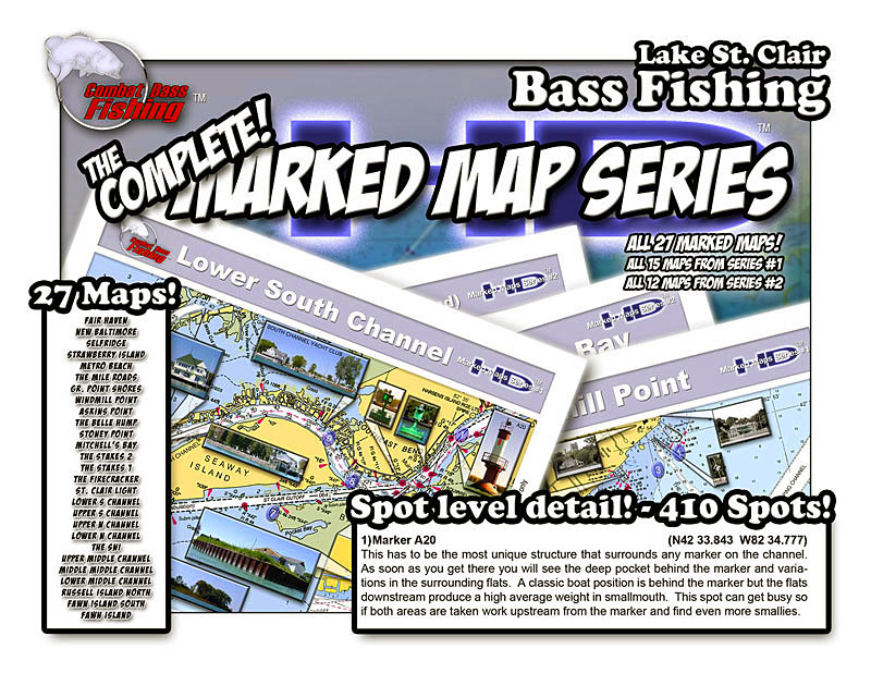
Lake St. Clair – St. Clair River Plastic water-proof GPS Marked Maps in a Bound Chartbook. 410 Fishing Spots Detailed on these Maps! In HD Color! More Spots! UPDATED Spot Info! More Graphics!
Description
Plastics GPS Marked Maps in a Bound Chartbook – Lake St. Clair and the St. Clair River. 410 fishing hot spots detailed on these maps! Now in High Definition Color!
More Spots! UPDATED Spot Info! More Graphics!
27 HD Color Maps with Detailed Spot Info, GPS Waypoints and Reference Photos on:
Fair Haven | New Baltimore | Selfridge | Strawberry Island | Metro Beach | The Mile Roads | Grosse Pt. Shores | Windmill Point | Askins Point | Belle River Hump | Stoney Point | Mitchells Bay | The Stakes 2 | The Stakes 1 | The Firecracker | St. Clair Light | Lower South Channel | Upper South Channel | Upper North Channel | Lower North Channel | The Sni | Upper Middle Channel | Mid Middle Channel | Lower Middle Channel | Russell Island North | Fawn Island South | Fawn Island
Cut your St. Clair Learning Curve by 10 years! SAVE Hundreds of $ in Gas!!
Note: This item is drop-shipped from the author.
Only logged in customers who have purchased this product may leave a review.


Reviews
There are no reviews yet.