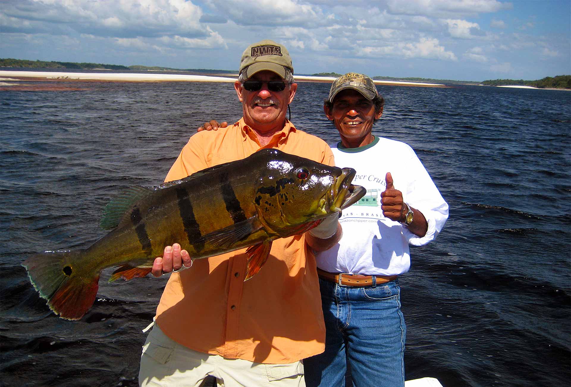
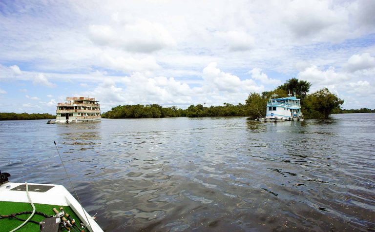
This is a pretty cool feature I can point you to thanks to a fellow trip mate Dave Gizzi. Dave wore a satellite GPS device during the day that recorded his travels throughout our 2010 Exotic Outdoor Adventures Rio Negro River peacock bass fishing trip using Google mapping! Very cool!!
Peacock Fishing on the Rio Negro, Brazil – Jan 16, 2010 is the link (no longer exists). You’ll have to zoom or drag down to the northern part of Brazil in South America to zoom into our track.
We first flew from Manaus to Barcelos farther into the Amazon jungle and that is where Dave’s recordings start. You’ll see some gaps because these very brave (in my mind – maybe a little crazy ![]() ) boaters on the Amazon Clipper drove the boat all night up the river while we slept the first few nights so we could fish new water each day.
) boaters on the Amazon Clipper drove the boat all night up the river while we slept the first few nights so we could fish new water each day.
The night trips stopped when we got to the (still huge) shallower parts of the river that turned from most hard-packed sand to a lot of big rocks! We took the Clipper all the way to the next town over 100 miles up the river – Santa Isabel (where the big green dot is). Then we made a couple all day shore lunch trips farther up the real rocky awesome part of the river in the bass boats from there, finally flying out of the tiny Santa Isabel airport back a couple hundred miles to Manaus (the long straight line back southeast).
Dave has a few pictures on the map and may add some more. Of course, I already have a bunch of pictures on the forum with some of the story. So much still to tell. So much more coming, but I think seeing the travels up the river on Google maps will give you a little more visual on the adventure we all shared (and plan to repeat – who’s with me?!?).
I still can’t believe they drove the two big boats up the river all night, only hitting one sand bar!! Considering there were something like 1 trillion sandbars going up the river, with some the size of Lansing, a pretty amazing feat!
n


